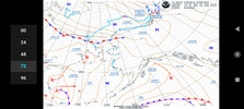
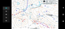
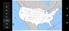
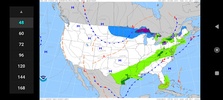
For accurate and efficient flight planning, understanding meteorological conditions is crucial. Surface Pressure Charts - USA offers a comprehensive five-day forecast of large-scale weather developments across the USA, including tailored maps for Alaska. This app aims to provide clear insights into broader weather patterns, which are essential for strategic planning. For local conditions, higher-resolution sources are recommended.
Efficient Low-Resolution Charts
The app caters to users dealing with limited internet connectivity by offering charts in low resolution. This approach ensures swift downloads while minimizing file sizes. Although high-resolution images with zooming capabilities might seem beneficial, meteorologists underscore that such features could imply undue confidence in small-scale predictions.
User-Friendly Design
Surface Pressure Charts - USA is designed for simplicity and speed, making it accessible and easy to navigate. Whether choosing to use buttons or swiping through the charts, you will find the navigation intuitive. The app's lightweight nature ensures quick performance, especially under time-sensitive conditions when tracking weather forecasts is imperative.
Comprehensive Forecasts
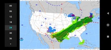
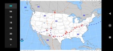
This app provides detailed analyses and forecasts, detailing parameters such as isobars, sea level pressure in hPa, frontal systems including warm and cold fronts or occlusions, and various weather types like rain, snow, ice, and thunderstorms. For those invested in aviation or other fields requiring detailed weather foresight, Surface Pressure Charts - USA delivers valuable insights into atmospheric trends, all generated by NOAA-WPC.
Requirements (Latest version)
- Android 2.1.x or higher required




Comments
There are no opinions about Surface Pressure Charts - USA yet. Be the first! Comment